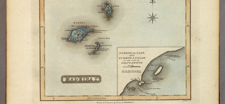
Mapa manuscrito (22×27 cm) Pertence a la obra ‘The first edition, first state (see our first edition, second state for comparison) of Lucas’ best general atlas and the finest [...]
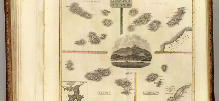
Mapa grabado (55×45 cm) Pertenece a la obra ‘A new general atlas, consisting of a series of geographical designs, on various projections, exhibiting the form and component parts of the [...]
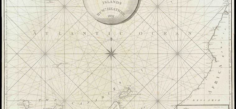
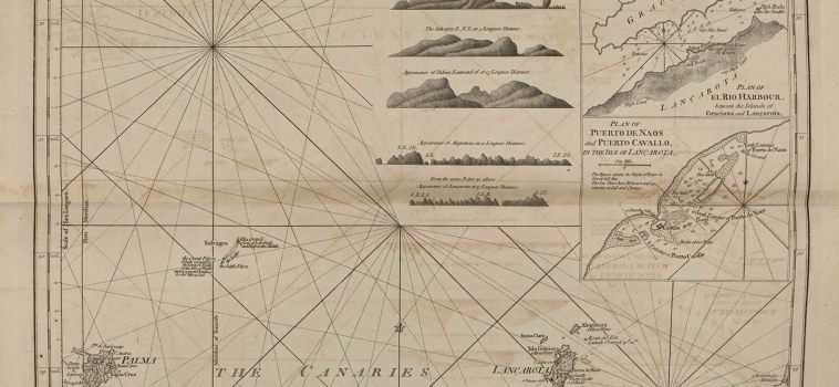
Carta náutica (65×77 cm) Carta náutica denominada ‘A new chart of the Madeira adn The Canary Islands’. Aparecen las islas de Madeira y el archipiélago de las Islas Canarias así [...]
Mapa grabado con ilustraciones (47,17×60,34 cm) Mapa inlcuído en ‘The West-India atlas’, una colección de 40 cartas y mapas basados en los dibujos y descripciones del Capitán Sir [...]
Mapa grabado (26×36 cm) Pertenece a la obra ‘Atlas Encyclopédique, Contenant La Géographie Ancienne, Et Quelques Cartes Sur La Géographie Du Moyen Age, La Géographie Moderne, Et Les [...]
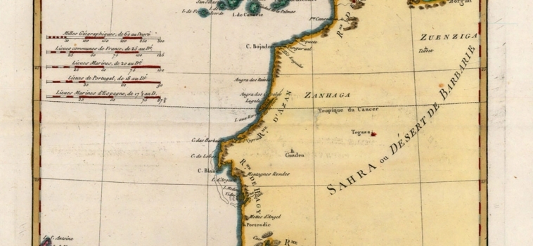
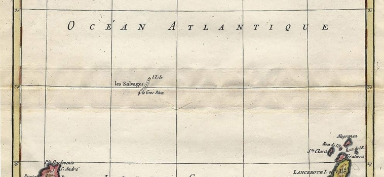
Mapa manuscrito (32×21,2 cm) Corresponde con el mapa nº 9 perteneciente a la obra ‘Atlas Maritime’, correspondiente al primer libro. Comprende las islas Canarias, Madeira y las [...]
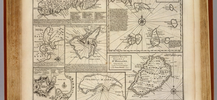
Particular draughts of some of the chief African Islands in the Mediterranean : as also in the Atlantic and Ethiopic Oceans
0 0
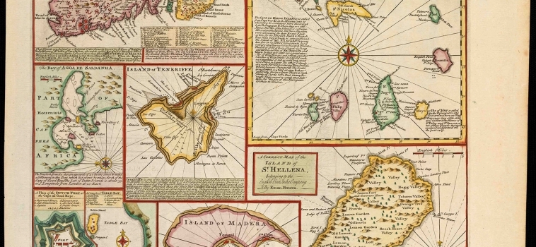
Mapa grabado sobre papel (35×43 cm) Bajo el título ‘Particular Draughts of some of the chief African Islands in the Mediterranean, as also in the Atlantic and Ethiopic Oceans’. [...]
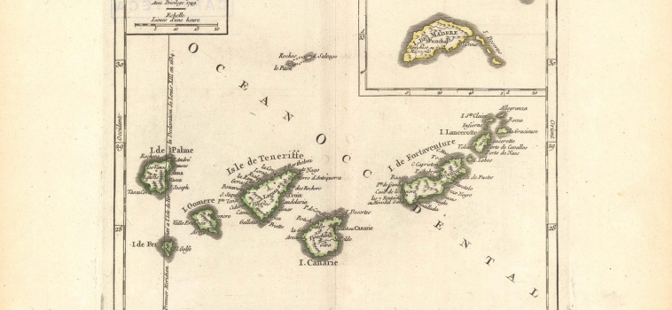
Mapa grabado (16,2×19,1 cm) Pertenece a la obra «Atlas Portatif», del que ocupa la hoja 182. Comprende las islas Canarias, con un cajetín donde aparecen insertadas las islas Salvajes y [...]
Mapa manuscrito (42,5 x 48,8 cm) Pertenece a la obra ‘A Complete System of Geography’, bajo el nombre ‘Particular Draughts of Some of the Chief African Islands in the [...]
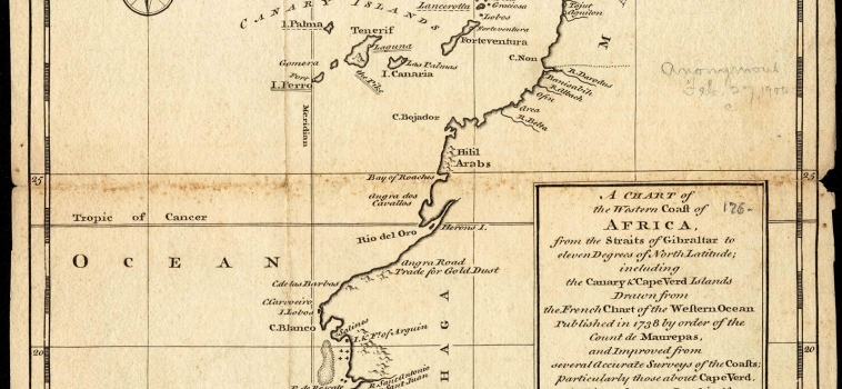
Carta náutica (24×19 cm) Pertenece a la obra ‘A new general collection of voyages and travels’, bajo el nombre ‘A chart of the western coast of Africa, from the Straits of [...]
